![]() Deforestation and forest degradation are responsible for approximately 11% of global carbon emissions. That is more than the entire global transportation sector and second only to the energy sector.
Deforestation and forest degradation are responsible for approximately 11% of global carbon emissions. That is more than the entire global transportation sector and second only to the energy sector.
The National Center for Geoenvironmental Information (CENIGA) within the Ministry of Environment and Energy (MINAE) in Costa Rica and their partner organisations are working to operationalise the change detection algorithms that are used to accurately detect deforestation and forest degradation.
Further, they are developing an early warning system to provide near real-time alerts of deforestation to mitigate greenhouse gas emissions, reduce illegal deforestation activities and contribute to the United Nations REDD+ programme.
The project is one of the 32 selected as part of the GEO - Google Earth Engine Program that provides funding to tackle environmental and social challenges using open Earth data.
We spoke with Rafael Monge, Director of CENIGA, to learn more about their project and how his team will be using Google Earth Engine (GEE) to monitor forest dynamics in Costa Rica.
Rafael, can you describe the challenge you want to tackle with this project?
Costa Rica is involved in many initiatives aimed at environmental responsibility and the sustainable development and management of its lands. Initiatives include the REDD+ programme, aimed at reducing carbon emissions from deforestation and forest degradation, as well as policies designed to help combat illegal activities such as drug trafficking and illegal logging.
However, like many countries, Costa Rica faces the challenge of estimating precise rates of deforestation, forest degradation, and reforestation using sample-based area estimation. Detecting these activities in Costa Rica is particularly complex because they occur in relatively small patches that are dispersed throughout the country.
How will your project address these problems?
Our project will refine and operationalise the analysis of Earth Observation (EO) data to produce more accurate change detection maps. These maps, in conjunction with our system for sample-based area estimation, will improve the precision of our estimates of greenhouse gas emissions that are a result of deforestation and forest degradation.
Furthermore, we are developing an early warning system that will detect deforestation events in near real-time and provide information to law enforcement to enable rapid response when illegal activities are detected. Both mapping systems will provide information on where deforestation, forest degradation, and restoration activities are occurring to inform decision makers and identify the drivers of illegal activities.
Ultimately, the aim of our project is to increase the effectiveness of the REDD+ strategy and contribute to the global effort to reduce greenhouse gas emissions and mitigate global warming.
How does Google Earth Engine help you achieve your project-related goals?
Costa Rica seeks to develop an operational production pipeline using GEE to process both optical and radar time series data. The pipeline will become part of a new subsystem of Costa Rica’s National Land Use, Land Cover and Ecosystems Monitoring System (SIMOCUTE).
The optical and radar time series data will be used to produce the change maps to support sample-based area estimation and generate near real-time detection alerts of deforestation.
With GEE, we can access vast archives of pre-processed imagery and radar data, and collaborate in an environment that facilitates knowledge sharing. Using GEE also enables us to process these data at lightning speeds in order to do rapid prototyping and testing. Moreover, GEE’s collaboration capability allows us to share our findings with other institutions.
How will the GEO-GEE funding help your project?
The technical support we receive from EO Data Science will enable us to build the capacity of Costa Rican experts in using GEE. Their new skills will be used to improve change detection mapping methodologies and contribute new research to the field.
Through the GEO-GEE Program, the Costa Rican institutions in this partnership expect to make the data and information generated by this project accessible for common use both at a national and global scale through spatial data management platforms, institutional websites and other communication platforms.
We hope to share our experiences and new knowledge with other Central American, Latin American and Caribbean countries facing similar challenges. We aim to encourage them to develop their EO analysis capacity and increase their participation level within GEO working groups and the regional activities of AmeriGEO.
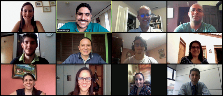
(Image: Project participants)
EO Data Science’s role in the GEO - GEE Program
EO Data Science partnered with Google Earth Engine and the Group on Earth Observations to launch the GEO-GEE Program, which supports GEO member countries to operationalise their science as they strive to tackle the world’s biggest sustainable development challenges.
In July 2020, 32 projects across 22 countries were selected into the program which offers $3 million USD towards product licenses and $1 million USD in technical support from EO Data Science. This funding and support will help these projects tackle global challenges using open Earth data. Read the announcement and list of winners here.
Follow us on Twitter, LinkedIn or Facebook to hear about more GEO-GEE winning projects!
Back To News Stories